
References · Survey and cadastre · Germany
Digitisation and population of GIS databases
- Client
- BPR Dr Schäpertöns Consult
- Location
- Bavaria, Germany
- Service
- Consulting
- Period
- October 2023 – February 2024
- Status
- Completed
- Reference no.
- 2024-005
The project
This project aims at the creation of an integrated system for the management of geospatial data in the state of Bavaria, in order to support urban planning, the management of natural resources, and rural and agricultural development. The project comprises the phases of digitising the existing maps, populating the database with relevant information (topographic, cadastral, agricultural, infrastructural, demographic), and developing an advanced GIS (Geographic Information System). The main components of the project include: Digitisation of orthophotos and analogue maps, including scanning, georeferencing and conversion into formats usable by GIS; Population of the database with updated field data, including trees, buildings, forest areas, land use, etc.; Development of a GIS data management platform that can be accessed by public institutions for planning, analysis and decision-making purposes; Integration with urban planning and agricultural data and with the property registers, in order to improve transparency and efficiency in asset administration; Support for decision-making at municipal and regional level through spatial analyses and dynamic visualisations.
What we did
Creation of the GIS database; Digitisation of the orthophotos; Measurement of the tree crowns from the orthophotos; Maintenance of the GIS databases.
Your project
Planning something similar?
Tell us where you stand. We will come back with the team and the first steps.
In the same sector
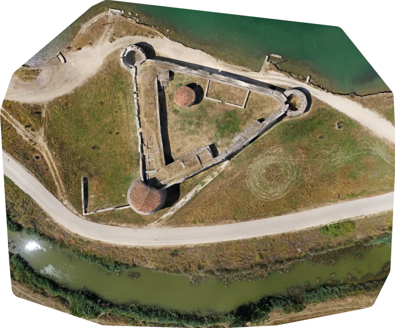
Topographic survey and creation of the 3D model of the Butrint archaeological park
Within the framework of the development of the design of the interventions in the Butrint archaeological park, with the aim…
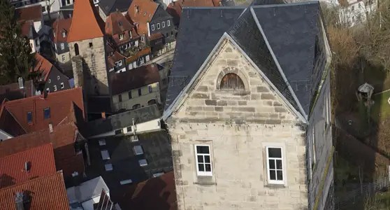
Creation of a deformation-compliant measurement of the City Wall
The ancient city wall of Kronach in Germany, known as the Stadtmauer, is a defensive structure built of sandstone blocks…
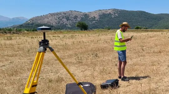
Initial property registration, Sub-zones A3 within the Butrint National Park
Under the Cultural Tourism and Ecotourism programme, the AADF has financed a considerable number of projects in the Butrint National…