
References · Survey and cadastre · Germany
Creation of a deformation-compliant measurement of the City Wall
- Client
- SRP Schneider and Partner Ingenieur-Consult GmbH
- Location
- Kronach, Germany
- Service
- Design
- Period
- February 2022 – May 2022
- Status
- Completed
- Reference no.
- 2022-001
The project
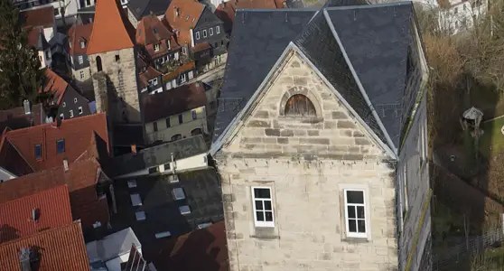
The ancient city wall of Kronach in Germany, known as the Stadtmauer, is a defensive structure built of sandstone blocks that surrounds almost the whole of the old town. The wall dates from around 1300 and was first mentioned in documents in 1323/24. For the project of documenting and monitoring the ancient wall, a modern digital approach was used to create an accurate 3D model serving the restoration of the structure and the prevention of its collapse. Technical details of the wall: length ~1,400 m; maximum height ~12 m; thickness on average 70 cm at the base, reducing to ~40 cm at the top; material: natural stone bound with old lime mortar, with some areas historically reinforced with brick or dressed blocks. Technology used: photogrammetry with drones; sensor: high-resolution RGB camera (48 MP), providing detailed imagery for the 3D model; geographic positioning: PPK (Post-Processed Kinematics), an advanced technology for correcting the drone positioning data after the flight, which delivers very high precision; model resolution: 1 cm/pixel, allowing a very accurate analysis of cracks, erosion and deformation of the wall; number of processed images: ~4,400 aerial and terrestrial images combined to cover the whole wall through 360°. Purpose of the 3D modelling: historical documentation of the wall with verifiable digital data; structural analysis to identify the critical points at risk of collapse; continuous monitoring in order to compare deformations over time; restoration planning with minimal intervention, oriented towards authentic preservation.
What we did
SRP Albanian Engineering is responsible for: the topographic survey of the area; the photogrammetric survey; the creation of the digital twin.
Your project
Planning something similar?
Tell us where you stand. We will come back with the team and the first steps.
In the same sector
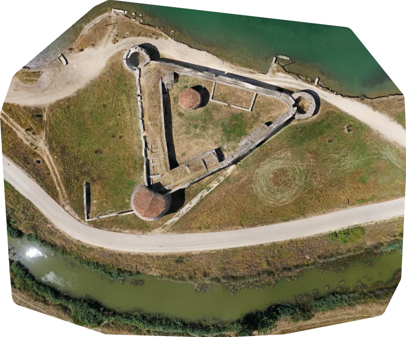
Topographic survey and creation of the 3D model of the Butrint archaeological park
Within the framework of the development of the design of the interventions in the Butrint archaeological park, with the aim…
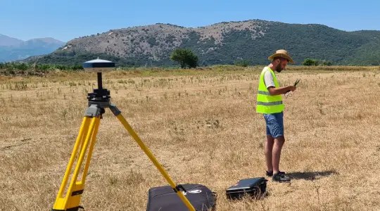
Initial property registration, Sub-zones A3 within the Butrint National Park
Under the Cultural Tourism and Ecotourism programme, the AADF has financed a considerable number of projects in the Butrint National…
Topographic and cadastral surveys for the BMF
Within the framework of the project for the construction of the Archaeological Gate, the Bus Parking and the Visitor Centre,…