
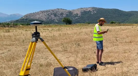
References · Survey and cadastre · Albania
Initial property registration, Sub-zones A3 within the Butrint National Park
- Client
- AADF — Albanian-American Development Foundation
- Location
- Ksamil, Sarandë, Albania
- Service
- Topographic survey
- Period
- June 2021 – July 2021
- Status
- Completed
- Reference no.
- 2021-010
The project
Under the Cultural Tourism and Ecotourism programme, the AADF has financed a considerable number of projects in the Butrint National Park, with the aim of turning it into a sustainable model of development in cultural heritage. Since 2010 the AADF has contributed with the installation of cameras, of the tourist infrastructure and signage, with the environmental rehabilitation of the new road, with the fire protection system and with the integrated management plan. In this framework it is important that the cultural heritage areas, known as the Butrint Sub-zones A3, are registered as state property in the Saranda Cadastre.
The purpose of the project is the cadastral registration of the A3 sub-zones as state property. The objectives: carrying out the topographic surveys by photogrammetric methods; carrying out the cadastral surveys; the measurement of the properties affected by the A3 sub-zones; the final determination of the boundaries of the A3 sub-zones and the formalisation of the boundary points.
Phase I — Cadastral survey: data collection, analysis and interpretation, execution of the topographic and photogrammetric measurements of the project areas. Phase II — Formalisation of the boundaries on site: the physical placement of the boundary markers for the delineation of the properties.
What we did
SRP Albanian Engineering was responsible for carrying out all the tasks of the project. Specific services:
Cadastral survey by photogrammetry
Measurement of the properties affected by the transfer to state ownership
Measurement and determination of the boundary of the A3 sub-zone
Your project
Planning something similar?
Tell us where you stand. We will come back with the team and the first steps.
In the same sector
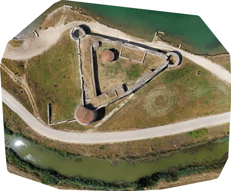
Topographic survey and creation of the 3D model of the Butrint archaeological park
Within the framework of the development of the design of the interventions in the Butrint archaeological park, with the aim…
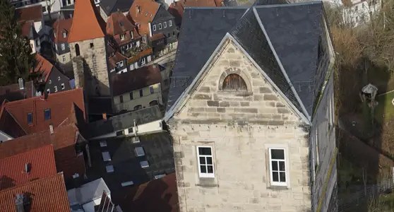
Creation of a deformation-compliant measurement of the City Wall
The ancient city wall of Kronach in Germany, known as the Stadtmauer, is a defensive structure built of sandstone blocks…
Topographic and cadastral surveys for the BMF
Within the framework of the project for the construction of the Archaeological Gate, the Bus Parking and the Visitor Centre,…